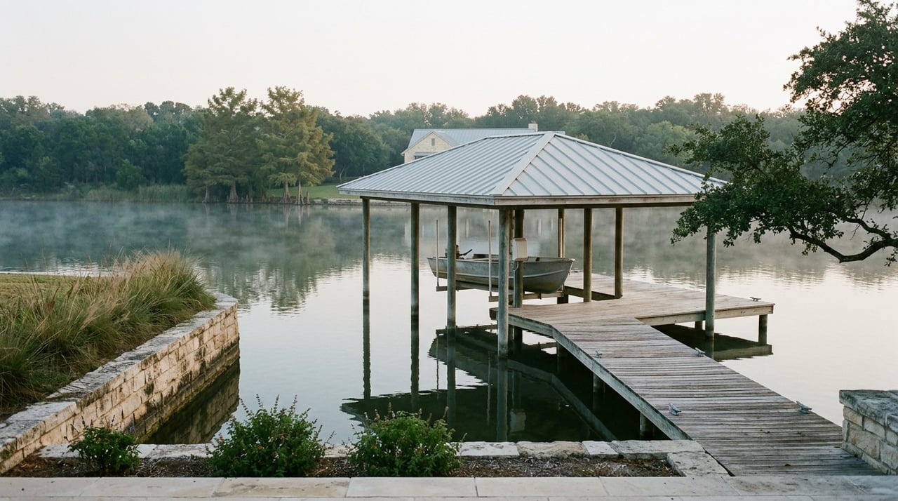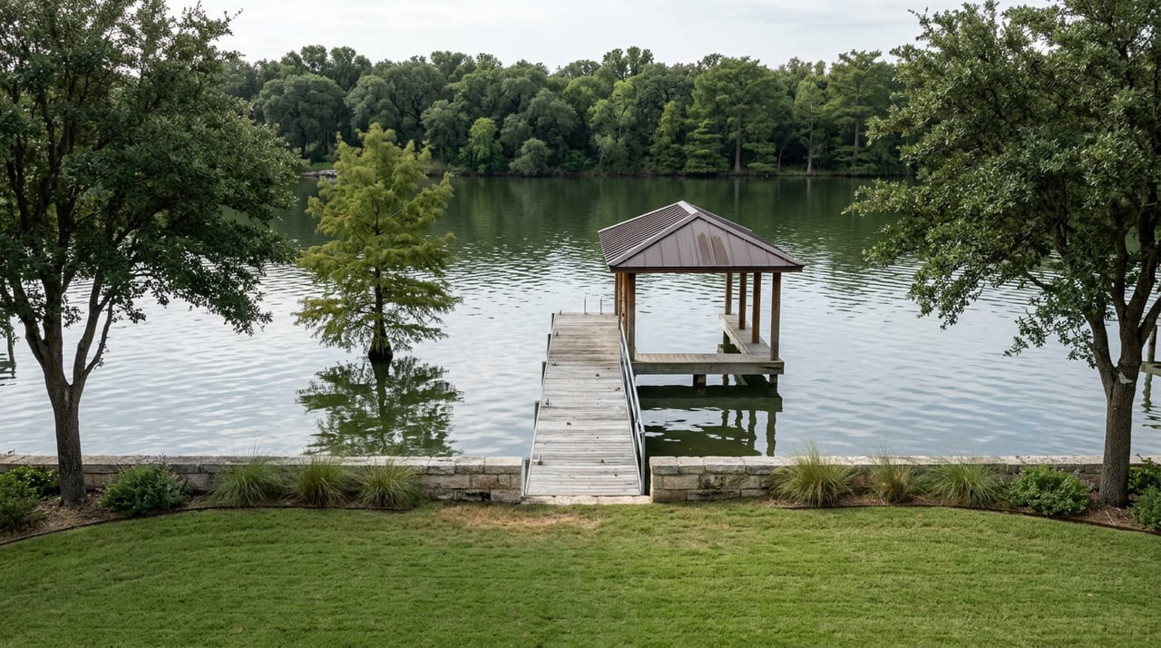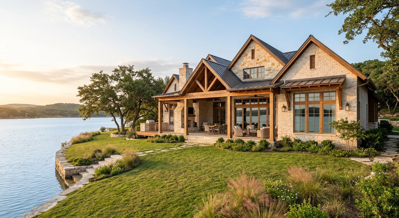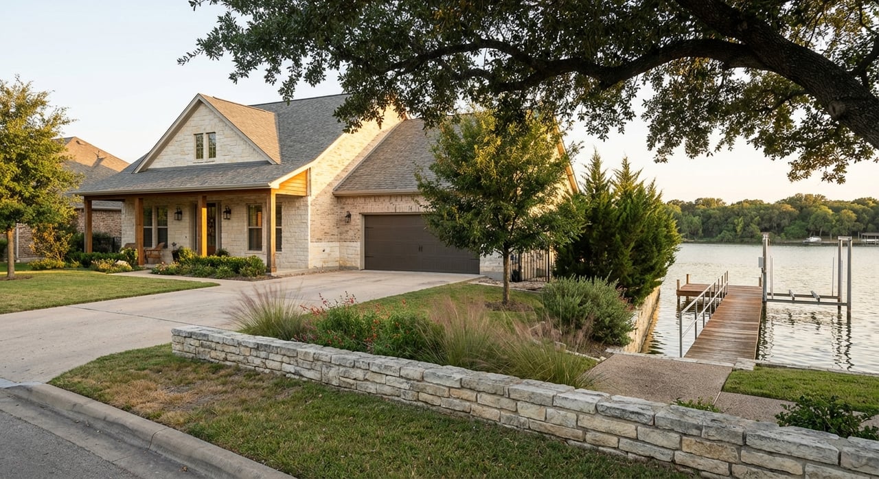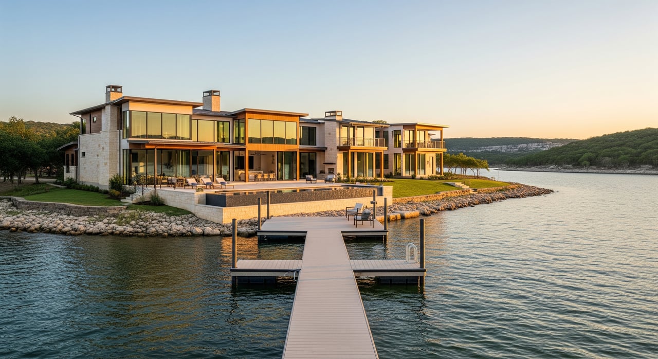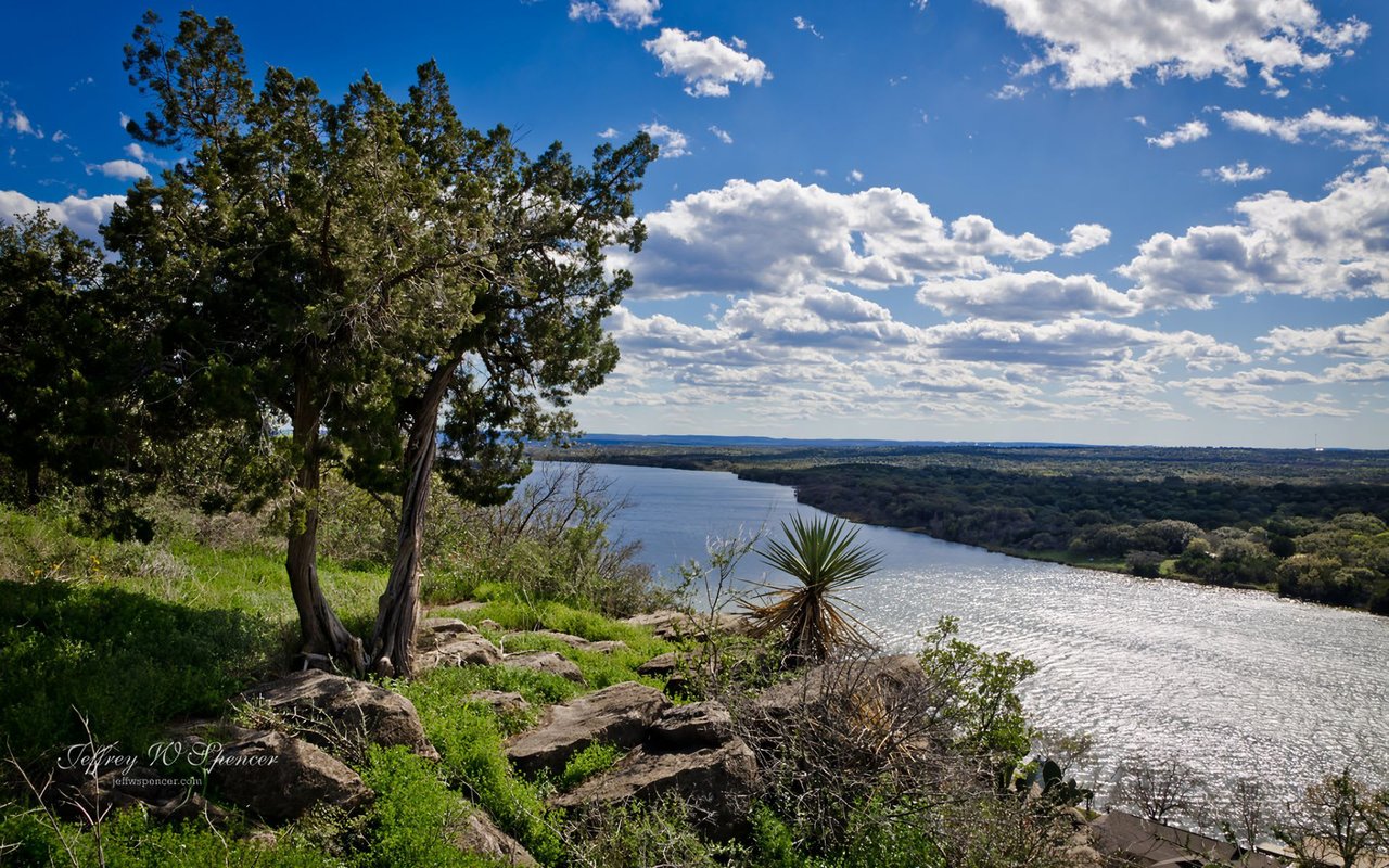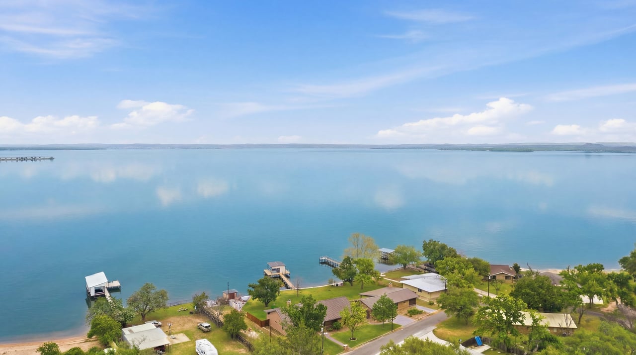
Two waterfront listings, both near Buchanan Dam, both advertised with roughly 100 feet of shoreline. One sells in six weeks. One sits for nine months. The lot lines look identical on the plat. The mechanism that separates them is not visible from the road, and it is almost never in the MLS remarks.
It is the dock.
The thesis, stated plainly
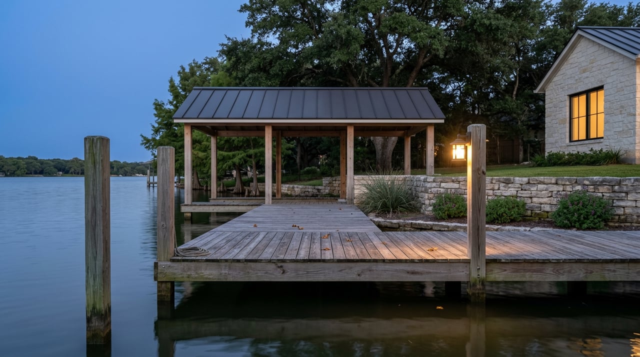
On Lake Buchanan, you are not really buying shoreline. You are buying a dock's ability to keep working when the lake moves. The Lower Colorado River Authority designs Buchanan to fluctuate as a water-supply reservoir, and that single fact reorganizes everything a buyer thinks they know from comparing listings on constant-level lakes like LBJ.
Lake Buchanan sat at 1,019.5 ft on July 17, 2026, roughly half a foot below full pool. In August of the prior year it touched 1,020. In the 2011 drought, it dropped far enough to expose the ruins of old Bluffton on the lakebed.
Same lake. Same shoreline. Very different waterfront.
Why Buchanan behaves differently from its neighbors
Of the six Highland Lakes, only Buchanan and Travis are water-supply reservoirs. The LCRA operates them to capture water in wet years and release it in dry ones, which is why their surface elevations move on a scale that would be a crisis on the pass-through lakes.
Feature | Lake Buchanan | Lake LBJ |
|---|---|---|
Operating design | Water-supply reservoir, designed to fluctuate | Pass-through, held within roughly a one-foot range |
Full pool | 1,020 ft msl | 825 ft msl |
Typical dock exposure | Can sit dry in droughts | Waterline nearly constant year-round |
Houseboats | Not allowed | Allowed within LCRA rules |
Shoreline character | ~124 miles, rocky and variable | Contained, developed cove system |
Effective January 1, 2025, the LCRA stopped operating Buchanan to a varying seasonal conservation pool and set a year-round elevation target of 1,020.00 ft. On paper that removes one layer of seasonality. In practice, drought and inflow still drive the number. Levels have been drifting down since the July 2025 flood inflows, and KXAN's March 2026 recap of LCRA projections noted that under median rainfall conditions the slow decline continues.
The number every Buchanan buyer should ask about: 1,012
Ask your agent, your inspector, and the seller the same question. What has this dock done at 1,012 feet?
That elevation is not arbitrary. It is the threshold the LCRA writes into its rules. Under the LCRA's Safety Standards for Residential Docks on the Highland Lakes, "low lake levels" on Buchanan begin at 1,012 ft msl. Below that, a separate regulatory posture kicks in for repairs and lakebed work. The LCRA's lakebed clearing rules explicitly allow certain retaining-wall repairs and debris clearing only when Buchanan is below 1,013 ft msl, under lakewide U.S. Army Corps of Engineers permits and with notification to LCRA.
Translated into a buyer's checklist:
- Dock elevation. Where does the dock deck sit relative to 1,020, 1,015, and 1,012? A dock that grounds out at 1,015 is a different asset from one still floating at 1,010.
- Grandfather status. The dock safety standards took effect February 18, 2004. Existing docks predating that date carry different flexibility on shoreline distance. A pre-2004 dock is not automatically better, but it is a different animal on paperwork.
- Access system. Is the dock fixed, floating on encased flotation, or on a rail that rolls with the pool? The Lake Buchanan Conservation Corporation installed a rail-mounted courtesy dock at Llano County Park using a $25,000 LCRA Community Development Partnership grant, precisely because the old courtesy dock only worked at high water. Private owners have followed suit.
- Retaining wall condition. Walls at Buchanan take punishment on both ends, submerged and exposed. Repairs during high-water years are constrained.
None of this appears on a portal listing. All of it appears in a closing.
East side, west side, and why the map matters
Shoreline footage is a headline number that hides geography. The east side of Buchanan sits in Burnet County and carries Burnet mailing addresses in most places, with the majority of the "good" boat ramps rated by Texas Parks and Wildlife, including the two-lane concrete ramp at the dam and the ramps near Cassie and off FM 2341. The west side sits in Llano County, threaded through Bluffton and Tow, with fewer improved ramps and different wind exposure.
For a working waterfront home this is not a lifestyle preference. It is a usability calculation:
- East-side coves near Cassie and Buchanan Dam get wind protection from the prevailing southwesterly flow and cluster near services like Ascension Seton Highland Lakes and the HEB in Burnet.
- West-side and north-arm properties near Bluffton, Tow, and Cedar Point Recreation Area sit closer to the Colorado River inflow, meaning better spring white-bass fishing above the lake at Colorado Bend State Park but harsher wind fetch on open water.
- Canyon of the Eagles Lodge & Nature Park on the northeast arm and Thunderbird Lodge Boat Ramp off FM 2341 anchor the mid-lake east shore with public and semi-public access, useful ballast for value on adjacent private lots.
A 100-foot east-shore lot in Cassie and a 100-foot west-shore lot in Tow are the same on a spec sheet and different on a Tuesday in August.
What the market data is actually saying
The published numbers on Buchanan look, at first glance, like a soft market. In May 2026, the Buchanan Lake area of Burnet reported a median home price of $575,000 with average days on market at 128, and the trailing twelve-month median sat around $415,750, up roughly 15% year over year. Waterfront medians in Buchanan Dam ran near $625,000 with typical days on market stretched past 200. In July 2026, Harris County–based portal HAR pegged the Buchanan Dam average at roughly $770,000 and $330 per square foot.
Set against constant-level Lake LBJ, those days-on-market figures look slow. They are not slow. They are the signature of a market where buyers who understand the dock mechanism have pricing leverage and buyers who do not tend to walk away at the inspection.
Two working conclusions for anyone comparing lakes:
- The Buchanan discount versus LBJ is not a discount on the water. It is compensation for the operational risk of the dock and shoreline. If your dock design cancels that risk, you are effectively buying discounted waterfront on the largest of the Highland Lakes.
- The spread between a well-engineered dock property and an aging fixed dock on the same cove can exceed the spread between neighborhoods. That premium does not always show up in list price. It shows up in the closing timeline.
A short FAQ
Is Buchanan going to fill back up? The LCRA publishes scenarios rather than forecasts. Under wet conditions, Buchanan can refill within a season, as it did in August of last year. Under median or drier conditions, the slow decline continues. Buyers should underwrite to the range, not the current reading.
Can I build a new dock at any elevation? No. New residential docks require an LCRA permit and must meet the current safety standards, including a design elevation of 1,020 ft msl on Buchanan and shoreline-distance limits capped at 200 feet in shallow areas. A grandfathered pre-2004 dock has more latitude than a new one, which is a real asset attached to certain older properties.
What about houseboats and short-term rentals? Houseboats are not permitted on Buchanan, though existing structures are grandfathered. Short-term rental potential depends on the county and any subdivision covenants, and it is worth confirming for the specific address rather than the lake as a whole.
Where a local team earns its fee
Reading a Buchanan waterfront listing is not really a listing exercise. It is a dock exercise, a permit exercise, and a shoreline-elevation exercise, wrapped in the ordinary steps of a Texas home purchase. The families who buy well here tend to be the ones who asked the 1,012 question before writing the offer.
At LandMasters Real Estate we have watched Buchanan through droughts, floods, and the LCRA's 2025 pool-elevation change. Our team lives on these coves, sits on boards like the LBCC, and reads the elevation gauge before the coffee. If you are weighing Buchanan against LBJ, or comparing an east-side and a west-side lot, we would rather walk the shoreline with you than send you a spreadsheet.
Get Your Instant Home Valuation and start a conversation with a broker who has actually seen the dock at 1,012.